REGULATION PLAN FOR 3RD ZONES IN NATIONAL PARK BJESHKET E NEMUNA
INSI
REGULATION PLAN FOR 3RD ZONES IN NATIONAL PARK BJESHKET E NEMUNA

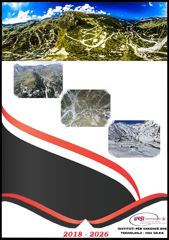
The objective of this task was to prepare two Detailed Regulatory Plans as instruments for controlling current developments and providing conditions for regulating future developments in the areas Boge and Gropa e Erenikut, which are situated in 3rd Zones of the National Park.
The scope of work included those components under certain planning phases but not limited to:
Phase 1: Analyses of the existing situation (profile) Geodesic Recording to define precisely the surface for the planning area in Boge and Gropa e Erenikut and other surrounding areas with impact in the zone Information on the planned surface covered by DRP, including:
1. Analysis of the existing land use;
2. Analysis of existing technical infrastructure including existing road network, water supply, and surface waters, sewerage, public lighting, and transport;
3. Analysis of existing built-up areas and structures including ownership as an important aspect that will have a direct impact on determining the final solution;
4. Analysis of existing main sectors of the economy with special focus on tourism development (existing touristic capacities), and small-scale agriculture in the function of tourism development;
5. Analysis of existing public and social infrastructure: education and health services;
6. Analysis of environmental conditions and constraints;
7. Assessment of existing conditions in the areas.
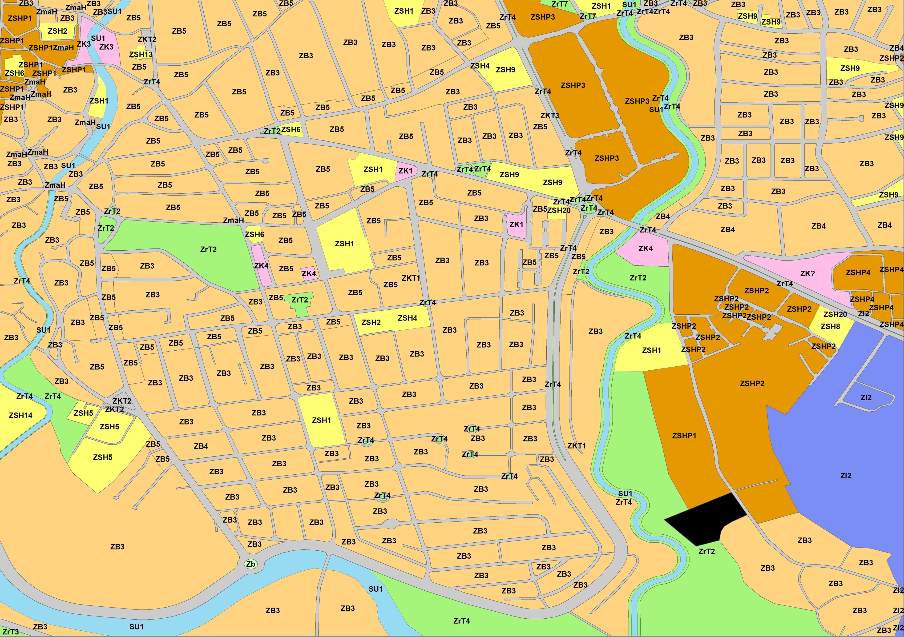
The graphical part which included Maps in GIS:
1. Map of the area;
2. base map topographic map using geodetic survey data;
3. maps presenting existing situation regarding:
Land use;
Technical infrastructure;
Built-up areas and structures including ownership;
Main sectors of the economy with special focus on tourism development;
Public and social infrastructure;
Analysis of environmental conditions and constraints
Phase 2: Scenarios, synthetics and developments framework for future development
Analysis of proposed scenarios and determining preferred one
Development framework which shall include proposals mainly focusing:
Determination of new land uses and their impact on areas around the border of the zone;
Proposed technical infrastructure with main focus on:
Provision of road transportation;
Provision of water supply and surface water treatment;
Provision of waste collection and transportation according to the environmental rules in force;
Rehabilitation of already developed buildings or sub-zones;
Proposed parceling and re-parceling, spatial designation of new constructions/development areas including regulation and construction line in the level of construction parcel/block;
Proposed future touristic capacities;
Proposed areas for small-scale agriculture in the function of tourism development
Proposed main public and social infrastructure
Proposals for environmental protection and disaster risk management.
The graphical part which included Maps in GIS:
1. Proposed scenarios
2. Development framework map
3. Planned area regulatory maps
Phase 3: Implementation plan and implementation provisions:
Textual part:
1. Implementation Plan listing proposed actions/projects, responsible institutions for decision-making, implementation, financial implications, financing sources, relevant indicators for monitoring and evaluation process;
2. Relevant implementation provisions for space regulation
Graphical part:
1. Integrated map including all proposed sectoral developments
Phase 4: Finalization and hand-over
1. Finalization works;
2. Submission of the draft-DRP in format accordance with legal requirements;
Submission of geodetic recording and all databases created during the planning process.


